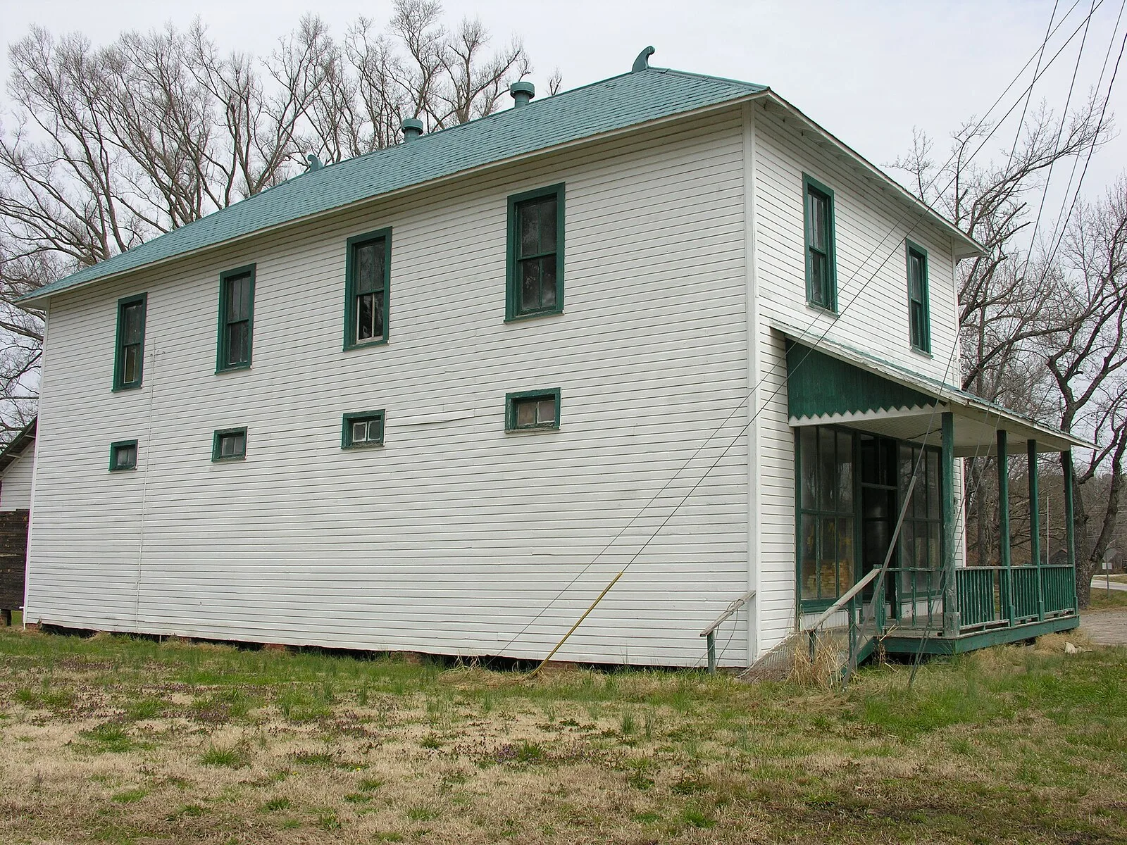
A tornado warning covered Cary at 12:12 p.m. Sunday. The weather service later confirmed an EF1 tornado at the West Regional Library, and up to 2 inches of rain fell.
A tornado warning covered Cary at midday Sunday as a line of severe storms crossed central North Carolina. A member of the public reported a tornado about a mile east of Carpenter, in west Cary, at 12:32 p.m.
Updated Oct. 15: The National Weather Service has confirmed an EF1 tornado with peak winds of about 100 mph near the West Regional Library on Morrisville Parkway at 12:29 p.m. It snapped trees but caused no structural damage and no injuries. Read our story on the survey.
The warning
The National Weather Service in Raleigh issued the tornado warning at 12:12 p.m. for northwestern Wake County, northeastern Chatham County and southeastern Durham County. It ran until 1 p.m.
The warning said radar showed rotation in a storm 9 miles west of Cary, moving northeast at 30 mph. It put the storm near Raleigh, Durham and Cary around 12:20 p.m. and near RDU International Airport around 12:25 p.m.
The warning covered stretches of:
- Interstate 40 between mile markers 275 and 289
- Interstate 540 between mile markers 0 and 13
- Interstate 85 between mile markers 178 and 183
- the Durham Freeway between mile markers 2 and 11
What was reported
These are the weather service’s preliminary local storm reports closest to Cary. They come from 911 centers, fire departments and the public, and the weather service has not checked them on the ground. All times are Sunday, Oct. 11.
| Time | Where | What was reported |
|---|---|---|
| 12:03 p.m. | Beaver Creek Road, just south of Pea Ridge Road, Chatham County | Tornado: numerous mature hardwood and pine trees downed, snapped and twisted |
| 12:05 p.m. | Beaver Creek Road, Chatham County | Several trees down, both lanes blocked |
| 12:31 p.m. | Cass Holt Road, southern Wake County | Tree on a house |
| 12:32 p.m. | About 1 mile east of Carpenter, Wake County | Tornado, reported by the public, no description |
The Beaver Creek Road report is about 12 miles southwest of Cary, near Jordan Lake. The fire department reported it, and the weather service noted the damage matched a tornado debris signature on radar. Cass Holt Road is about 13 miles south of Cary.
A second public tornado report, about 4 miles southwest of Carpenter, also appears in the weather service’s report summary. It has no description either.
Reports from Raleigh and northeastern Wake County followed between 12:51 and 1:17 p.m. Callers reported trees down on Ridge Road in Raleigh, on power lines and on several houses.
The weather service rates a tornado only after its staff survey the damage. Until then, no rating exists, and a report is not a confirmed touchdown.
How much rain fell
Volunteer stations in Cary recorded between 1.2 and 2.06 inches of rain in the 48 hours to Sunday evening. The highest Cary reading, 2.06 inches, came from a station in far west Cary.
The figures are from the weather service’s public information statement issued at 8:59 p.m. Sunday. The weather service says not all of the readings are official.
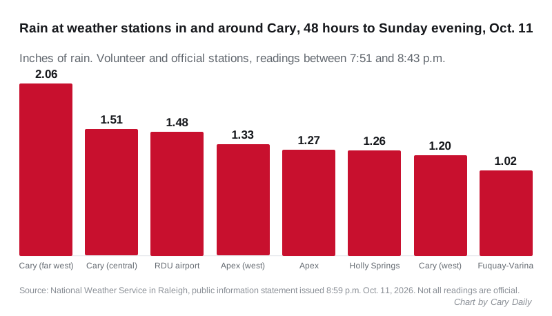
- Cary, far west: 2.06 inches
- Cary, central: 1.51 inches
- RDU International Airport: 1.48 inches, the official airport station
- Apex: 1.33 and 1.27 inches at two stations
- Holly Springs: 1.26 inches
- Cary, west: 1.2 inches
- Fuquay-Varina: 1.02 inches
Swift Creek came close to flood stage
Swift Creek, measured upstream of Queensferry Road in southeast Cary, rose to 2.36 feet at 1:10 p.m. Sunday. Its minor flood stage is 2.4 feet, according to the weather service gauge page.
The creek was falling overnight. It read 1.27 feet at 2:15 a.m. Monday, just above the 1.2-foot action stage, the level the weather service uses to flag a stream to watch.
What it means for you
- Trees down in the street: call Cary 311 or 919-469-4000.
- A downed power line: call 911 and stay away from it.
- Power out: Duke Energy Progress customers can text OUT to 57801 or call 800-419-6356. Our power outages page has the other numbers.
- Driving: check our roads page and DriveNC.gov for closures.
The weather turns quiet. The weather service’s forecast for Cary calls for a mostly sunny Monday with a high near 81 and a sunny Tuesday with a high near 86.
The weather service surveyed the damage near Carpenter on Tuesday and rated the tornado EF1. Our follow-up has the full survey.
Have your say