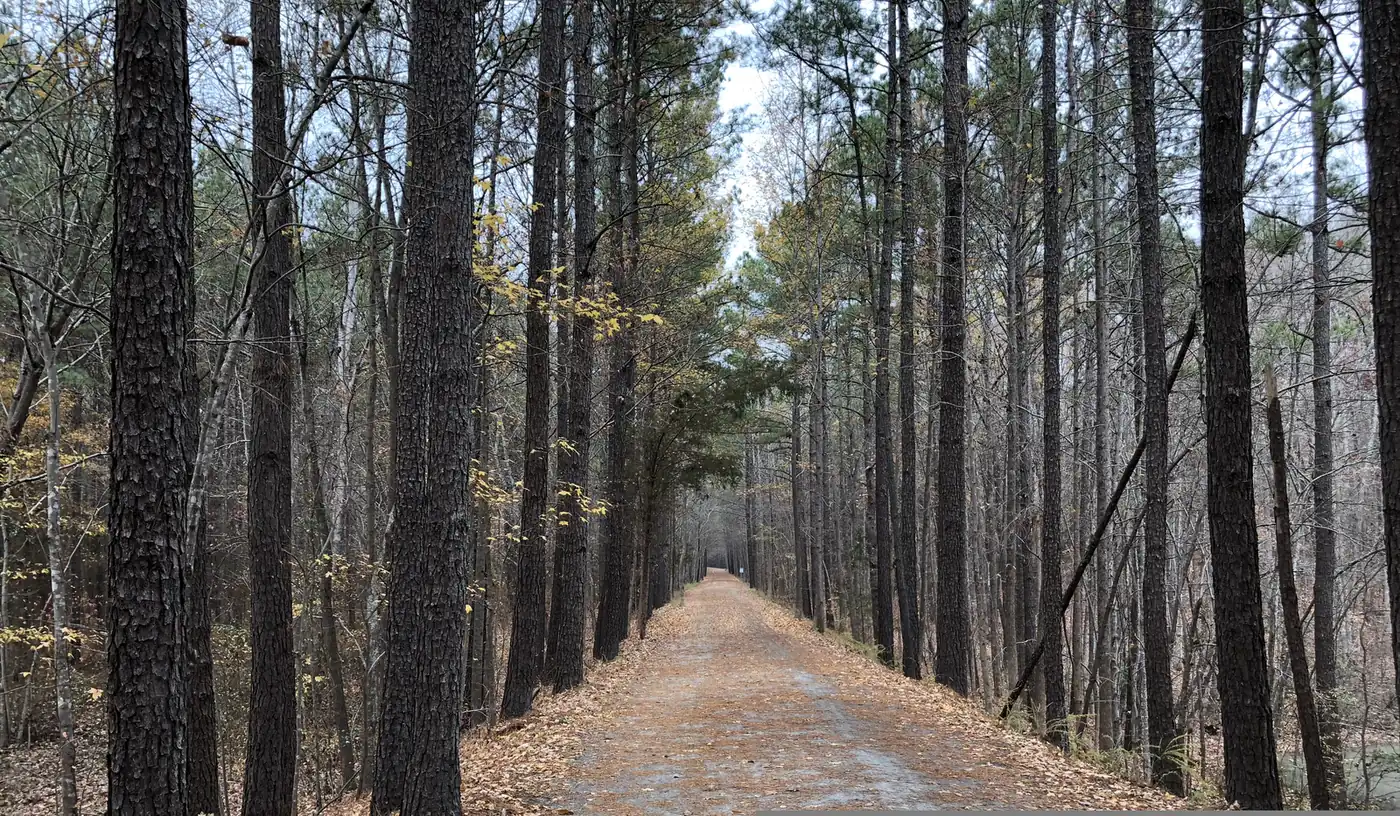
Cary's main greenways with distances, trailheads and parking: Black Creek, White Oak Creek, Crabtree Creek, Hinshaw and the American Tobacco Trail.
Last checked Oct. 11, 2026. Distances, trailheads and rules come from the Town of Cary’s greenway pages and Wake County, linked below. Our parks and trails guide covers the parks themselves.
Cary’s greenways are 10-foot-wide paved trails, open from dawn to dusk, that link its parks, lakes and neighborhoods. Here are the main routes, how far they go and where to park.
Who to call
- Greenway problems (trees down, damage): Cary 311, or 919-469-4000 from outside town limits
- Emergency or suspicious activity on a trail: 911
At a glance
| Trail | Distance | Surface | Ends and links | Parking |
|---|---|---|---|---|
| Black Creek Greenway | 7.1 miles | Asphalt | Lake Crabtree to Bond Park | Old Reedy Creek Road, North Cary Park, Godbold Park, Bond Park |
| White Oak Creek Greenway | 7.38 miles in sections | Asphalt, 1.5 miles of boardwalk | Bond Park west through Apex to the American Tobacco Trail | Bond Park, Davis Drive Park, Ed Yerha Park, 8232 Green Level Church Road |
| Crabtree Creek Greenway (lake segment) | 1.7 miles | Asphalt | Black Creek Greenway to Evans Road | Old Reedy Creek Road, North Cary Park |
| Crabtree Creek Greenway (Bond Park segment) | 0.8 miles | Asphalt | White Oak Creek Greenway to High House Road | Bond Park |
| Hinshaw Greenway | 1.7 miles | Asphalt | Maynard Road to Marla Dorrel Park | Greenwood Circle, Seabrook Avenue, Marla Dorrel Park |
| American Tobacco Trail (Cary-maintained section) | 4.7 of 23 miles | Asphalt with gravel shoulder | Chatham County section; full trail Apex to Durham | White Oak Church Road and others |
Black Creek Greenway
Cary’s busiest regional trail runs 7.1 miles from the Old Reedy Creek Trailhead at Lake Crabtree south to the greenway hub at Bond Park, according to the town’s Black Creek page. With the White Oak Creek Greenway it is part of the East Coast Greenway, planned to run from Maine to Florida. Some parts are steep for wheelchairs.
Trailheads: Old Reedy Creek Road (82 parking spaces, restroom, water, bike repair station); North Cary Park (a 0.4-mile path to the greenway); the Black Creek Trailhead on the north side of Maynard Road across from Godbold Park; Godbold Park, between Cary Action Sports and the dog park; and Bond Park, from the boathouse or community center lots. Restrooms are at North Cary Park, Godbold Park, Bond Park and the Old Reedy Creek trailhead.
Construction: a three-year renovation began in June 2024. Phase 2 and the new Cary Parkway pedestrian bridge opened May 1, 2026; Phase 3, from Weston Parkway to the Old Reedy Creek Trailhead, closed May 4, 2026. The project’s September 2026 update said Phase 3 should reopen this fall, weather permitting (carygreenwaydetour.com).
White Oak Creek Greenway
From the Bond Park hub the White Oak Creek Greenway runs west in sections totaling 7.38 miles, past Davis Drive and Ed Yerha parks, under N.C. 55 and I-540, then across wetlands on 1,700 feet of boardwalk and on through Apex to the American Tobacco Trail, the town says on its White Oak Creek page. The newest trailhead, a 22-space lot at 8232 Green Level Church Road by Green Level High School, reaches the trail by a short street-side path. Restrooms: Bond Park, Davis Drive Park and Ed Yerha Park. The town’s page has carried an alert that the boardwalk section at Green Level Church Road was closed for repairs through Sept. 30, with no detour; check it for the current status.
Crabtree Creek Greenway
The 1.7-mile lake segment leaves the Black Creek Greenway about half a mile south of Old Reedy Creek Road and crosses an arm of Lake Crabtree on a 730-foot concrete boardwalk, then follows the south shore to Evans Road. The town notes bald eagles, osprey and herons, and atamasco lilies in spring. Grades are gentle. West of Evans Road, Morrisville’s section continues for a 4.5-mile run to Davis Drive. A separate 0.8-mile Bond Park segment links the White Oak Creek Greenway to High House Road (Crabtree Creek page).
Hinshaw Greenway
A 1.7-mile trail from Maynard Road to Marla Dorrel Park, through the Swift Creek watershed and over U.S. 1/64 on a 300-foot pedestrian bridge that carries the public artwork Bowstring Vines. Easy, with some steep slopes. GoCary routes 1 and 2 stop nearby (Hinshaw page).
American Tobacco Trail
The 23-mile rail trail runs from the western edge of Apex to downtown Durham. Cary rebuilt and maintains the 4.7-mile Chatham County section. Horses are allowed. Water is at the New Hope Church Road and Pittard Sears Road trailheads and at White Oak Church Road; restrooms at White Oak Church Road and New Hill-Olive Chapel Road. Hunting is allowed in season on the posted Jordan Lake game lands beside the trail, behind fencing (ATT page).
Nature trails
- Hemlock Bluffs Nature Preserve, 2616 Kildaire Farm Road: about three miles of mulched trails and overlooks; no bikes; dogs on a 6-foot leash (preserve page).
- Bond Park, 801 High House Road: the Bond Lake Trail, Pine Cone Trail and Paw Paw Trail connect to the greenways.
- Lake Crabtree County Park: more than 16 miles of trails, 8 a.m. to sunset (county page).
Rules of the trail
From the town’s greenway rules:
- Daylight hours only. No motorized vehicles.
- Top speed 15 mph. Bikes yield to walkers and runners; keep right, pass on the left and call out “Passing on the left.”
- Step off the trail when you stop.
- Pets on a leash of 6 feet or less, on the right-hand shoulder; pick up after them.
- No alcohol. Report anything suspicious to 911.
The town’s printable bike and hike map shows the full network. Dogs on trails: see our dog-friendly Cary guide.
What this means for you
- Longest out-and-back with parking and restrooms at both ends: Black Creek between Bond Park and the Old Reedy Creek Trailhead, once Phase 3 reopens.
- Flattest: the Crabtree Creek lake segment.
- For a long ride, take White Oak Creek west to the American Tobacco Trail.
Frequently asked questions
What is the longest greenway in Cary?
The White Oak Creek Greenway totals 7.38 miles in sections, and the Black Creek Greenway runs 7.1 miles continuously from Lake Crabtree to Bond Park. Together they will form a trail of more than 14 miles.
Where do I park for the Black Creek Greenway?
The Old Reedy Creek Road Trailhead has 82 spaces, a restroom, water and a bike repair station. There is also parking at North Cary Park, Godbold Park, the Black Creek Trailhead on Maynard Road and Bond Park.
Is the Black Creek Greenway closed?
The last renovation section, from Weston Parkway to the Old Reedy Creek Trailhead, closed May 4, 2026. In September the town said it should reopen this fall, weather permitting.
How long is the American Tobacco Trail?
The rail trail runs 23 miles from the western edge of Apex to downtown Durham. Cary rebuilt and maintains the 4.7-mile Chatham County section.
Can you bike on Cary greenways?
Yes. Greenways are open dawn to dusk for walking, running and biking, with a 15 mph speed limit; bikes yield to people on foot and pass on the left.
Have your say