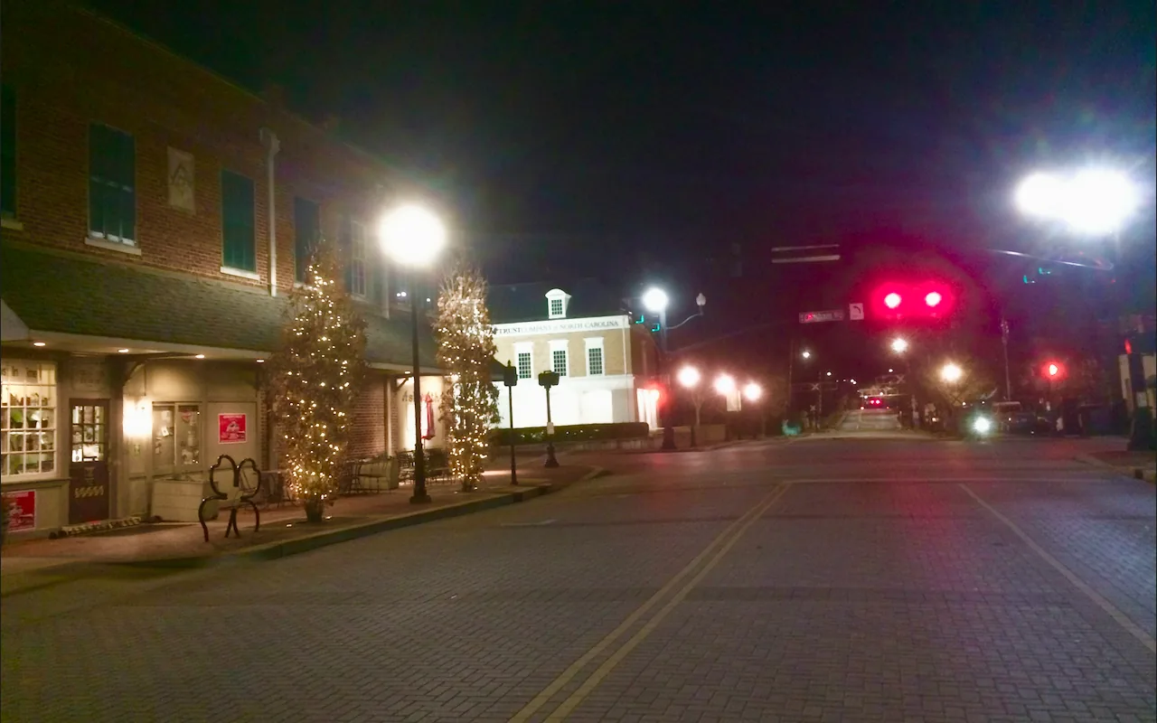
Downtown Cary's neighborhoods around Chatham and Academy streets are zoned for Cary High and sit in ZIP codes 27511 and 27513, with the Amtrak station.
Last checked Oct. 12, 2026. Sources: the Town of Cary’s Downtown Cary Special Planning Area plan in the Imagine Cary Community Plan and its residential boundaries data, the Wake County Public School System’s 2026-27 attendance areas and base school lookup, the N.C. Department of Public Instruction’s 2025-26 accountability data, GoCary and GoTriangle schedule data, OpenStreetMap and Zillow Research.
Downtown Cary is the town’s historic center along Chatham and Academy streets, and the older, mostly low-density neighborhoods around it. The town’s Downtown Cary Special Planning Area plan splits downtown into six subareas: East Chatham Gateway, North Academy, Central Chatham, South Academy, West Chatham Gateway and the supporting neighborhoods around them. It calls Central Chatham “the ‘heart and soul’ of Downtown Cary.” Homes here are in ZIP codes 27511 and 27513. For the park, parking and places to eat, see our downtown Cary guide.
What this means for you
- Zoned high school: Cary High, 64.1% of state tests at grade level in 2025-26, according to the state’s accountability data. Check an address with the district’s base school lookup.
- Home value: $496,081 in ZIP code 27511 in August 2026, according to the Zillow Home Value Index.
- Nearest freeway exit: Interstate 40 Exit 290 at N.C. 54, about 2.3 miles by road.
Part of our Cary neighborhoods guide.
Where it is
According to the plan, the North Academy subarea runs from Boundary Road south to the rail corridor and holds Cary’s Amtrak station and a cluster of town buildings. Central Chatham is the historic core, centered on Chatham Street, the main commercial street. South Academy, south of the tracks along South Academy Street, is the town’s “cultural and historic center.” West Chatham has “senior housing, townhomes, and garden apartments,” with Old Apex Road and West Chatham Street as its gateway roads.
The plan says downtown “is surrounded by several older neighborhoods that are within a short walk or drive,” most of them “fairly low-density” by design. About 50 buildings were included in the Downtown Cary National Register Historic District when it was created in 2001.
For schools and ZIP codes, we took the 36 neighborhoods in the Town of Cary’s residential boundaries data whose centers lie within about 0.6 mile of Academy and Chatham streets. They include Cary Heights, Forest Park, Montclair, Park Place, Hunter Park and Park Station, along with apartments, townhomes and condominiums such as Chatham Walk and Walker Townes. Of the 36, 25 are in ZIP code 27511 and 11 in 27513.
Schools
Downtown is in the Wake County Public School System. All 36 neighborhoods we checked against the district’s 2026-27 attendance areas were zoned for Cary High:
- 25 were zoned for Cary Elementary and East Cary Middle.
- Five were zoned for Northwoods Elementary and West Cary Middle.
- Four were zoned for Weatherstone Elementary and East Cary Middle.
- Two were zoned for Kingswood Elementary and Reedy Creek Middle.
Check your own address in the district’s base school lookup. Scores are the share of state tests at grade level or above in 2025-26 and the state’s growth rating, from the accountability data.
| Level | School | At grade level | Growth |
|---|---|---|---|
| Elementary | Cary Elementary, 400 Kildaire Farm Road | 72.7% | Met |
| Elementary | Northwoods Elementary, 8850 Chapel Hill Road | 70.7% | Met |
| Elementary | Weatherstone Elementary, 1000 Olde Weatherstone Way | 77.8% | Exceeded |
| Elementary | Kingswood Elementary, 200 E. Johnson St. | 63.6% | Met |
| Middle | East Cary Middle, 1111 SE Maynard Road | 71.3% | Exceeded |
| Middle | West Cary Middle, 1000 Evans Road | 77.0% | Exceeded |
| Middle | Reedy Creek Middle, 930 Reedy Creek Road | 63.3% | Not met |
| High | Cary High, 638 Walnut St. | 64.1% | Exceeded |
The district average was 68.2%. More in our schools guide.
Home values
Zillow publishes no figure for downtown alone. The Zillow Home Value Index is a modeled typical value for the middle third of homes, not a sale price.
| Area | August 2026 | August 2025 | Change |
|---|---|---|---|
| ZIP code 27511 | $496,081 | $503,268 | -1.4% |
| ZIP code 27513 | $556,721 | $561,168 | -0.8% |
| Town of Cary, for comparison | $619,636 | $628,603 | -1.4% |
Trends are on our home prices page.
Parks and trails
- Downtown Cary Park, 319 S. Academy St., is the town’s downtown park, with the Barkyard dog park; hours and events are in our downtown Cary guide.
- Lexie Lane Park, 301 N. Dixon Ave., and Urban Park, 414 E. Chatham St., are small town parks within about half a mile.
- Kay Struffolino Park, 601 Kildaire Farm Road, is about half a mile south, according to OpenStreetMap.
- The Northwoods and Higgins greenways run near downtown, as mapped on OpenStreetMap.
More in our parks and trails guide.
Getting around
- Interstate 40: Exit 290 at N.C. 54 (Chapel Hill Road) is about 2.3 miles by road from Academy and Chatham streets; Exit 291 at Cary Towne Boulevard is about 2.5 miles.
- U.S. 1/U.S. 64: Exit 101 at Walnut Street is about 3 miles.
- Raleigh-Durham International Airport: about 8.2 miles by road.
- Trains and buses: The Cary Depot holds the Amtrak station and is the hub for GoCary routes 1 (Crossroads), 2 (Cary-West Raleigh), 3 (Harrison), 4 (High House), 5 (Kildaire Farm), 6 (Buck Jones), 7 (Weston) and 9 (Apex-Cary), and for GoTriangle routes 300 and 310, according to the agencies’ published schedule data. See GoCary and GoTriangle.
Distances were measured with the OSRM routing engine on OpenStreetMap roads. They are distances, not drive times. More in our getting around guide.
Groceries and everyday stores
There is no full-size supermarket in the downtown core. OpenStreetMap lists these about a mile out:
- Supermarkets: Walmart Neighborhood Market, 973 N. Harrison Ave.; Food Lion, 980 Kildaire Farm Road; Patel Brothers, 802 E. Chatham St.; Toyo Shokuhin, 748 E. Chatham St.
- Pharmacies: Walgreens, 2323 NW Maynard Road; Cary Pharmacy, 114 Kilmayne Drive.
- Shopping centers: Cary Plaza, Northwoods and Mayfair Plaza.
How we built this page
The subareas and history come from the town’s Downtown Cary Special Planning Area plan; the neighborhood list comes from the town’s residential boundaries data near Academy and Chatham streets. School zones come from the district’s attendance-area map for 2026-27, checked at the middle of each neighborhood; a home near a zone line can differ. We found no town or county registry of homeowners associations for downtown, so this page does not describe them.
Frequently asked questions
What high school serves downtown Cary?
All 36 neighborhoods we checked within about 0.6 mile of downtown were zoned for Cary High in the Wake County Public School System’s 2026-27 attendance areas. Most were zoned for Cary Elementary and East Cary Middle.
What ZIP code is downtown Cary?
Downtown straddles two ZIP codes: of the 36 neighborhoods we checked, 25 are in 27511 and 11 in 27513.
Can you take the train from downtown Cary?
Yes. Cary’s Amtrak station is downtown, in the North Academy area, and the Cary Depot is the hub where GoCary routes 1 through 7 and 9 and GoTriangle routes 300 and 310 meet.
What is the typical home value in downtown Cary?
Zillow publishes no figure for downtown alone. In August 2026 its Home Value Index was $496,081 in ZIP code 27511 and $556,721 in ZIP code 27513.
Have your say