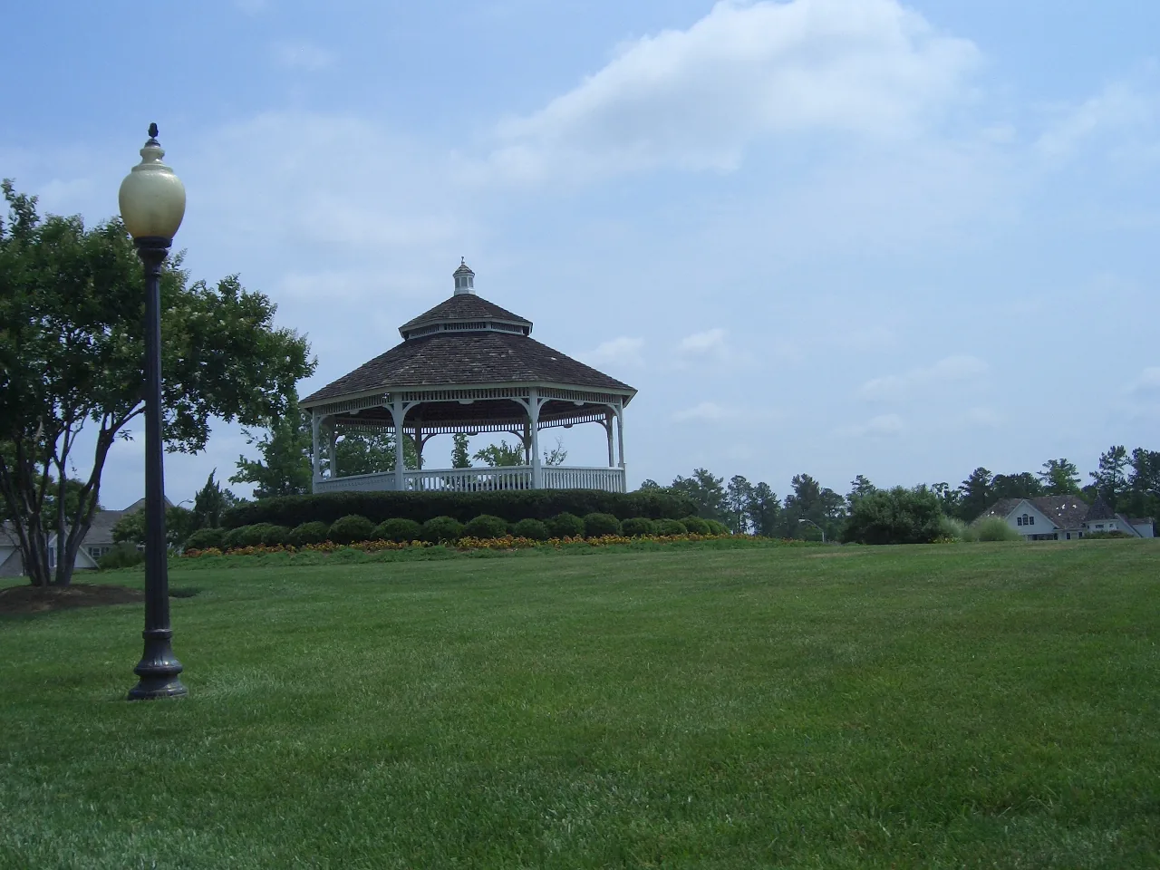
Preston is a group of 37 town-named neighborhoods in northwest Cary, mostly in ZIP code 27513. Every one we checked is zoned for Green Hope High.
Last checked Oct. 12, 2026. Sources: the Town of Cary’s residential boundaries data, the Wake County Public School System’s 2026-27 attendance areas and base school lookup, the N.C. Department of Public Instruction’s 2025-26 accountability data, GoCary and GoTriangle schedule data, OpenStreetMap and Zillow Research.
Preston is a cluster of neighborhoods in northwest Cary, north of Fred G. Bond Metro Park and west of Northwest Cary Parkway. The Town of Cary’s residential boundaries data names 37 neighborhoods that carry the Preston name, from Preston Village and Preston Grande to Preston Fairways and Preston Ridge, plus apartment communities such as the Marquis at Preston. Most are in ZIP code 27513.
What this means for you
- Zoned high school: Green Hope High, 84.2% of state tests at grade level in 2025-26, according to the state’s accountability data. Check an address with the district’s base school lookup.
- Home value: $556,721 in ZIP code 27513 in August 2026, according to the Zillow Home Value Index.
- Nearest freeway exit: N.C. 540 Exit 62 at High House Road, about 3.5 miles by road.
Part of our Cary neighborhoods guide.
Where it is
Plotted on OpenStreetMap, the 37 Preston neighborhoods in the town’s data sit roughly between High House Road to the south and the Morrisville town line to the north, with Davis Drive on the west side and Northwest Cary Parkway on the east. Of the 37, 29 are in ZIP code 27513, six have Morrisville 27560 addresses and two are in 27519. A Morrisville mailing address does not mean a home is in Morrisville; check the parcel on Wake County’s iMAPS map.
Schools
Preston is in the Wake County Public School System. We checked the middle of each of the 37 Preston neighborhoods against the district’s 2026-27 attendance areas. All 37 were zoned for Green Hope High. Elementary and middle schools split:
- 21 were zoned for Weatherstone Elementary and 20 for West Cary Middle.
- 14 were zoned for Morrisville Elementary and 14 for Alston Ridge Middle.
- Two were zoned for Green Hope Elementary and three for Davis Drive Middle.
The area is split, so check your own address in the district’s base school lookup. Scores are the share of state tests at grade level or above in 2025-26 and the state’s growth rating, from the accountability data.
| Level | School | At grade level | Growth |
|---|---|---|---|
| Elementary | Weatherstone Elementary, 1000 Olde Weatherstone Way | 77.8% | Exceeded |
| Elementary | Morrisville Elementary, 1519 Morrisville Parkway, Morrisville | 82.2% | Exceeded |
| Elementary | Green Hope Elementary, 2700 Louis Stephens Drive | 84.4% | Exceeded |
| Middle | West Cary Middle, 1000 Evans Road | 77.0% | Exceeded |
| Middle | Alston Ridge Middle, 7833 Fussell Ave. | 77.5% | Exceeded |
| Middle | Davis Drive Middle, 2101 Davis Drive | 88.1% | Exceeded |
| High | Green Hope High, 2500 Carpenter Upchurch Road | 84.2% | Exceeded |
The district average was 68.2%. More in our schools guide.
Home values
Zillow publishes no figure for Preston alone. The Zillow Home Value Index is a modeled typical value for the middle third of homes, not a sale price.
| Area | August 2026 | August 2025 | Change |
|---|---|---|---|
| ZIP code 27513 | $556,721 | $561,168 | -0.8% |
| ZIP code 27560 (Morrisville addresses) | $492,815 | $516,063 | -4.5% |
| Town of Cary, for comparison | $619,636 | $628,603 | -1.4% |
Trends are on our home prices page.
Parks and trails
- Fred G. Bond Metro Park, 801 High House Road, sits just south of Preston with Bond Lake, a boathouse, trails and ballfields.
- Cary Tennis Park, 2727 Louis Stephens Drive, and Green Hope Elementary Park, 2750 Louis Stephens Drive, are about 1.5 miles west, according to OpenStreetMap.
- Greenways inside or touching the area, as mapped on OpenStreetMap, include the Hatcher Creek, Crabtree Creek and Black Creek greenways and the short Preston Village Greenway.
More in our parks and trails guide and walking and biking trails guide.
Getting around
- N.C. 540 (Triangle Expressway, toll): Exit 62 at High House Road is about 3.5 miles by road from the middle of Preston; Exit 64 at Morrisville Parkway is about 3.9 miles.
- Interstate 40: Exit 285 at Aviation Parkway is about 5.7 miles.
- Downtown Cary (316 N. Academy St.): about 4.4 miles by road.
- Raleigh-Durham International Airport: about 7.7 miles by road.
- Buses: GoCary Route 4 (High House) stops on High House Road at Prestonwood Parkway, about 0.6 mile from the middle of Preston, and Route 7 (Weston) runs on James Jackson Avenue. GoTriangle Route 310 stops on Chapel Hill Road at Morrisville Parkway, according to the agencies’ published schedule data. See GoCary and GoTriangle.
Distances were measured with the OSRM routing engine on OpenStreetMap roads from a point in the middle of the area. They are distances, not drive times. More in our getting around guide.
Groceries and everyday stores
OpenStreetMap lists these within about 1.3 miles of the middle of Preston:
- Supermarkets: Publix, 1020 Bradford Plaza Way; Harris Teeter, 98 Cornerstone Drive; H Mart, 1961 High House Road; Walmart Neighborhood Market, 3560 Davis Drive.
- Pharmacies: CVS Pharmacy, 7025 Winston Hill Drive; Walgreens, 600 Stone Cove Lane.
- Shopping centers: Preston Corners, Cornerstone Village and Stone Creek Village.
How we built this page
The neighborhood list comes from the Town of Cary’s own residential boundaries data. School zones come from the district’s attendance-area map for 2026-27, checked at the middle of each neighborhood; a home near a zone line can differ. We found no town or county record that lists homeowners associations for Preston, so this page does not describe them.
Frequently asked questions
What high school is Preston in Cary zoned for?
All 37 Preston neighborhoods we checked in the Wake County Public School System’s 2026-27 attendance areas were zoned for Green Hope High, where 84.2% of state tests were at grade level or above in 2025-26.
What ZIP code is Preston in?
Most of Preston is in ZIP code 27513. A few of its neighborhoods have Morrisville 27560 or Cary 27519 addresses.
What is the typical home value in Preston, Cary?
Zillow’s Home Value Index for ZIP code 27513 was $556,721 in August 2026, down 0.8% from August 2025. Zillow publishes no figure for Preston alone.
How far is Preston from RDU airport?
About 7.7 miles by road from the middle of Preston to Raleigh-Durham International Airport, measured on OpenStreetMap roads.
Have your say